Cast your mind back to those trusty old world maps hanging on the walls of your classroom – you know, the ones that provided much-needed escapism during those less-than-thrilling lessons. Did you ever find yourself staring at those maps and imagining the adventures that awaited in faraway lands?
Turns out, daydreaming about epic journeys is a universal schoolchild tradition, but some lucky eras had more exciting map material than others to fuel those fantasies.
Let’s set the scene: it’s 1887, and Yaggy’s Geographical Study bursts onto the scene, transforming classrooms with vibrant maps. Levi Walter Yaggy, the mastermind behind it all, riding the wave of educational innovation in America.
In a slick ad for Yaggy’s Western Publishing House in Chicago, they laid it out straight: no more dull and outdated stuff – they were here to revolutionise education with tools that were fresh, stylish, and downright practical. And the buzz in the educational world? A clear sign that teachers were ready to ditch the old and embrace the new when it came to teaching visuals.
Imagine this: a 19th-century classroom where the teacher unveils Yaggy’s Geographical Study – a wooden treasure trove of gigantic, colourful maps measuring about two by three feet. But these weren’t your average maps; they were gateways to a world of knowledge about Earth and beyond.
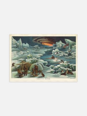
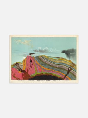
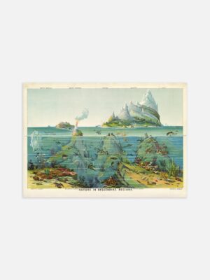
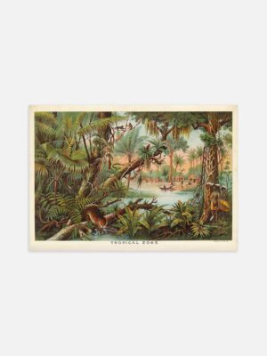
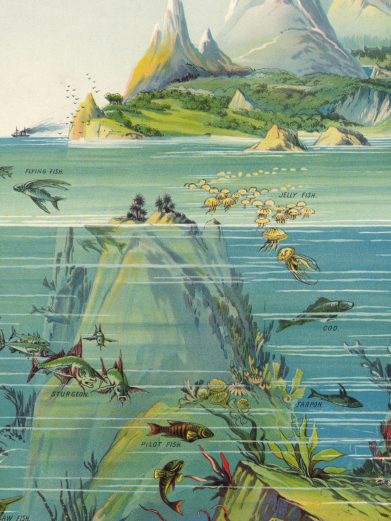
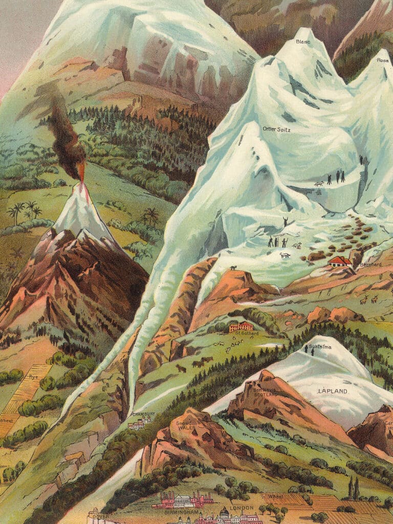
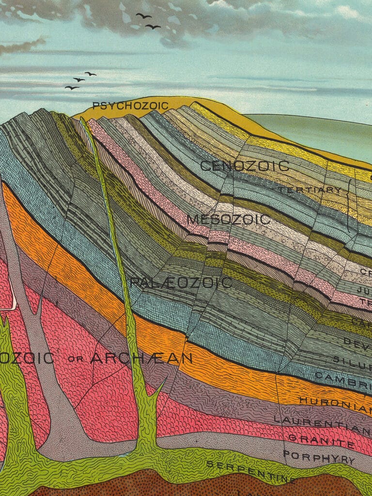
Guess what? You don’t need a time machine to experience this magic. Thanks to the digital wizardry of the David Rumsey Map Collection, you can explore every inch of Yaggy’s brilliance: the mind-boggling cross-section of Earth’s geological layers from eons ago, the captivating illustration showcasing civilizations across five different climate zones (complete with people, industries, and all the good stuff), a 3D map of the United States cleverly tucked into the box, and the pièce de résistance – the star chart.
The original star chart unfolds into five panels held together by adorable little metal latches. Crack them open and you’re in for a treat – intricate diagrams that’ll blow your mind. Moon phases? Check. A clever slider illustrating how the sun dances around Earth during the seasons? Double-check. And the grand finale – shine a light behind it and watch the magic happen as it highlights all the intricate features.
Sure, there might be a few scientific quirks that make today’s experts raise an eyebrow (like planets with suspiciously circular orbits instead of their actual elliptical paths – oops!), and yeah, some outdated perspectives too. But Yaggy’s Geographical Study is like a time capsule that captures the essence of its era in a way that still ignites curiosity and wonder. Back then, the age of exploration was winding down, and the idea of space travel was still nestled in the realm of science fiction (a genre that was just starting to find its feet). However, with these maps on display, no student from the 1880s could deny the vast unexplored realms of our world.
So, whether you’re a history enthusiast, an art admirer, or simply someone who appreciates a darn good map, Yaggy’s masterpiece is here to captivate you. No need for a time-travelling DeLorean when you’ve got digitised treasures like these at your fingertips. Let your space tell a story with a touch of history that’s as enthralling today as it was back then. Your inner explorer will be forever grateful.